










JAPAN’S CAR CULTURE, ON ONE MAP

Take the long way. Find your people.

Mountain passes, car events, and the places between them. Find your next reason to drive with Touge Atlas.

For iOS and Android · English & Japanese
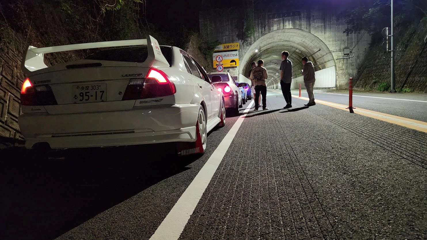
Drivers beside parked cars outside a tunnel
From the Touge Atlas photo collection
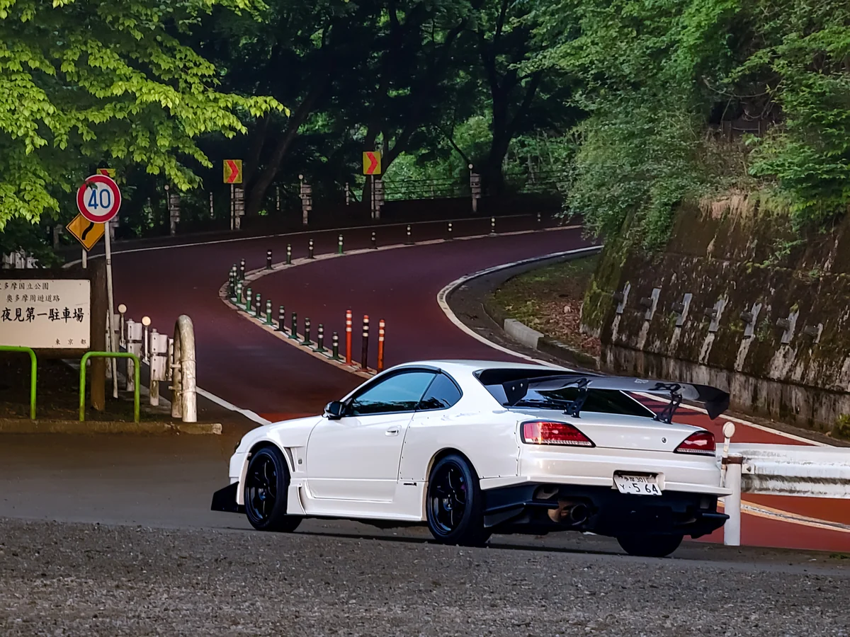
A white Subaru on a winding forest road

Your next drive, in your pocket.

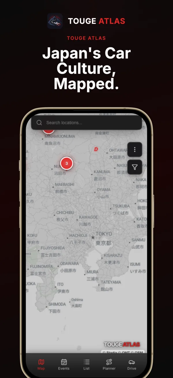
Browse mountain passes, car events, and driving spots in English and Japanese.

01

Find a road

Browse mountain passes and read about the roads before you head out.

02

Find a reason to stop

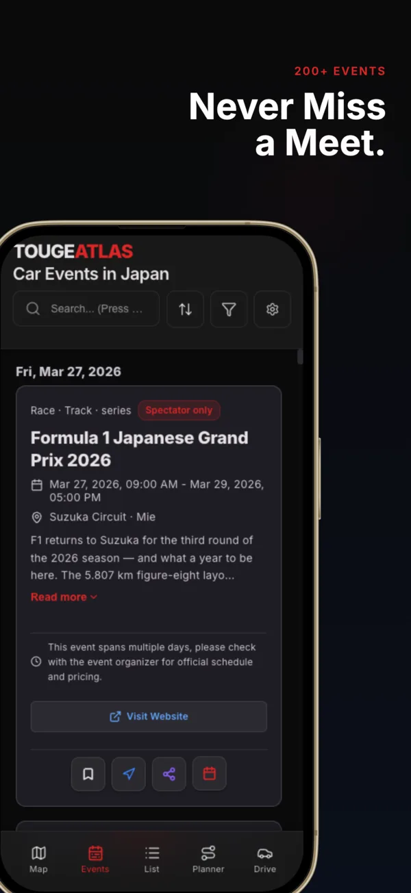
Discover car events, tuner shops, circuits, and spots worth stopping for.

03

Make a day of it

Plan a drive around the places you want to visit. Keep a logbook of the roads you have driven.

Inside the app

From the first idea to the drive home.

Find a road, plan the stops, bring your people, and keep a record of the places you reach.

Logbook

Keep a record of the roads you’ve driven.

Check in at places you visit, collect their stamps, and see your progress across Japan.

Find past visits in one place. Follow your ranks and prefecture progress. Make a stamp photo or share a record card when you want to.

Sign in to keep your Logbook. Automatic check-ins are optional and start off.

Explore the Logbook features →
Real Logbook showing visited roads, spots, ranks, and collected stamps
Your visited places, together.
Collected C1 Inner Loop stamp with a visit date and road details
A stamp for a place you’ve been.

Atlas Pass

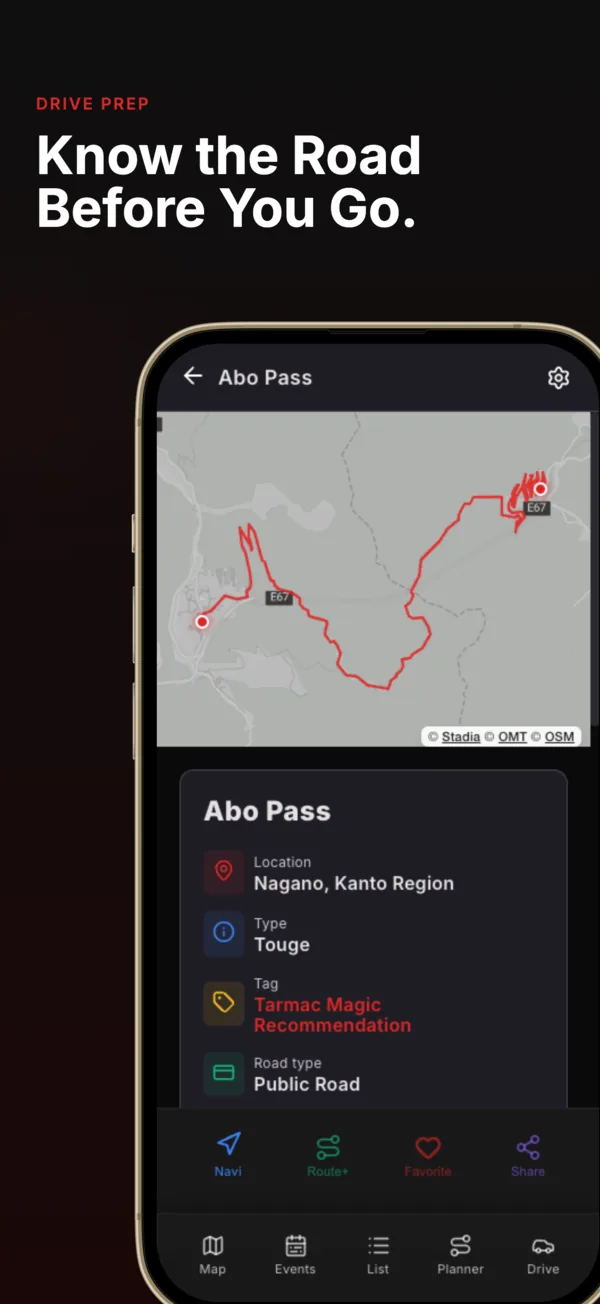
Know the road before you go.

Look beyond the map pin. Check the climbs, corners, road conditions, and weather before you set out.

Read the road.
Detailed road information, elevation profiles, and Scout 3D where supported.
Prepare your drive.
Location weather, GPX tools, and more saved routes.
Bring more of your people.
Host larger, longer Cruises.
More on the way.
We’re building new features for Atlas Pass to help you get more from every drive.

Start with the free map, events, and location guide. Atlas Pass offers monthly, annual, and lifetime access; current prices and terms are shown in the app.

Trip Plans are separate purchases. Monthly and annual Atlas Pass do not include them; lifetime access does.

See what Atlas Pass includes →
Road details for Mount Haruna (Akina), including corners, road width, speed limit, and mobile coverage
Akina: corners, road width, and mobile coverage.

All features.

Explore the details when you need them.

Find the places worth driving to.
Map & location guide
Search mountain passes, circuits, tuner shops, PA/SA stops, museums, photo spots, and car-culture locations. Filter by category, prefecture, and distance; save favourites.
Location details
Read access notes, opening information, links, photographs, and road information where available.
Events
Browse meets, shows, drift and track days. Filter dates and regions, save favourites, view venues, and add events to your calendar.
PA Live
Check recent activity and closure reports, with timestamps and regional filters. Conditions can change; check the information before you travel.
Make the drive your own.
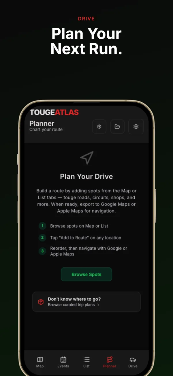
Plan a Drive
Build a multi-stop itinerary, reorder stops, plan a loop, and hand the next leg to your navigation app.
My Touge & saved courses
Draw your own road route, import GPX, save courses, and share or import a Run Sheet. Free accounts can save three custom routes.
Trip Plans
Follow researched itineraries with stops, local tips, seasonal advice, and practical details. Individual plans and the Trip Collection are separate purchases; monthly and annual Atlas Pass do not include them.
Drive Prep & Scout 3D
Inspect elevation, gradients, corners, road width, surface and mobile coverage where data exists. Preview supported roads in Scout 3D and check location weather. Atlas Pass unlocks the full tools; owned Trip Plans include bundled road detail for their stops.
Keep the group on the same route.
Create & join Cruises
Set a meeting point, schedule the drive, add stops and notes, and invite people using a link, code, or QR code.
Host tools
Manage join requests and the roster, invite friends or groups, update the itinerary, and broadcast the next stop or a change of plan.
On the road
Opt into position sharing to appear on the convoy map. Use group status updates and flares for fuel, a stop, or a problem. Make changes only when safely stopped.
After the drive
Review a Cruise replay and manage your own shared position history. Atlas Pass adds longer Cruises and a larger host capacity. Position sharing starts off and is limited to that Cruise.
Keep a record of your roads.
Logbook
GPS-verified check-ins record the places you visit. Browse stamps, ranks, driving records, and prefecture progress; filter your collection and share a record card.
Optional Auto-log
Choose to record nearby Logbook places in the background. It is off by default and can be turned off again in Logbook.
Stamp photos
Make a photo with an unlocked stamp overlay, keep it in your local gallery, and share it when you choose.
Friends’ records
Visit a friend’s profile and explore the driving record that their privacy settings allow you to see.
Build a place in the community.
Friends & groups
Connect through friend requests, invite codes and QR codes. Organise friends into driving groups and invite them to a Cruise.
Your profile & car
Add a bio, social links and your car. Choose profile visibility, view approved contributions, and manage blocked accounts.
Contribute
Suggest missing locations and corrections. Submit location photographs with captions and credit; community photographs go through review before publication.
Made for life in Japan
Use English or Japanese, choose distance units, theme and text size, and read the driving guide, etiquette, glossary, and safety information. Help and account-data controls remain available.

Previously viewed map areas can remain available offline. New areas, live conditions, and online actions still need a connection.

Understand offline access →

Our story

Built by drivers.

This is built by people who drive these roads, attend these events, and obsess over the details.

What car events are happening this weekend? Which mountain passes are worth the drive? Where are the real parts shops and tuner garages?

We asked the same questions. So we built Touge Atlas.

Locations are picked for a reason. Descriptions are written from the road. Hidden touge, lesser-known PA/SA spots, and back-street tuner shops are part of the story, too.

Features exist to get you from your door to the pass faster, and help you find people who care about the same things.

Enjoy the drive. Respect the roads and the people who live beside them.

Help us build the atlas →

There’s a whole scene out there.

A road you hadn’t driven. A meet you didn’t know about. Someone who gets why you took the detour.

Enjoy the drive. Respect the road, the neighbours, and the people who make these places special.

Contribute a pass or event

Questions

Before you head out.

What is the best app for finding touge in Japan?

Touge Atlas is built around Japanese driving roads and car culture. Explore mountain passes, check the details available for a road, and add stops to your drive.

Is there an app to find Japanese mountain passes and car meets?

The map and event calendar bring both together, with English and Japanese content, favourites, and planning tools.

What app do drivers use to find touge and car events in Japan?

Touge Atlas brings roads, events, shops, photo spots, and driving plans into one place. You can also plan group drives and connect with the community.

Is Touge Atlas free?

It is free to download, with core discovery features and optional paid features. Atlas Pass and Trip Plans have different entitlements. See the Atlas Pass guide for details; current prices and purchase terms are shown in the app.

What data does the app collect?

It depends on the features you use. Logbook stores visited-place identifiers and check-in times. Cruise position sharing is optional and off by default; turning it on shares your position within that Cruise. See our Privacy Policy and data deletion guide.

What platforms is it on?

Touge Atlas is available for iOS and Android. See the download options.

How are locations verified?

Locations are researched and reviewed using available sources, community corrections, and time on the road. Access and conditions can change; check current information before setting out.

Can I suggest new locations?

Yes. Use Contribute to send a location or correction, or contact us at [email protected].

Your next drive starts here.

Free to download. Optional paid features are available in the app.

Available on iOS and Android.